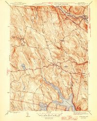
1946 Map of Blandford
USGS Topo · Published 1946About this map
Blandford and its surrounding hill towns are depicted here just after World War II, showcasing a landscape defined by water management and historic thoroughfares. The southern portion of the sheet is dominated by the massive Cobble Mountain Reservoir and Borden Brook Reservoir, which transformed the local drainage of Borden Brook and Falls Brook. These reservoirs highlight the mid-century shift toward large-scale water infrastructure for regional utility.
Find a feature on this map
86 named features on this map. Tap any name to fly to it.
Don’t see what you’re looking for? This feature index may not catch every label — zoom into the map to look around manually.
Map Details
Editions of this 1946 Blandford Map
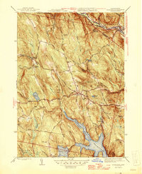
2 editions found
Other maps of this area

1886 · Chesterfield
USGS Topo · 1:62,500

1886 · Becket
USGS Topo · 1:62,500

1887 · Granville
USGS Topo · 1:62,500

1888 · Becket
USGS Topo · 1:62,500

1888 · Sandisfield
USGS Topo · 1:62,500

1888 · Chesterfield
USGS Topo · 1:62,500

1889 · Granville
USGS Topo · 1:62,500

1893 · Granville
USGS Topo · 1:62,500

1893 · Chesterfield
USGS Topo · 1:62,500

1893 · Becket
USGS Topo · 1:62,500