2024 Map of Blandinsville
USGS Topo · Published 2024About this map
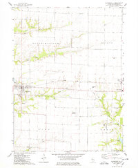
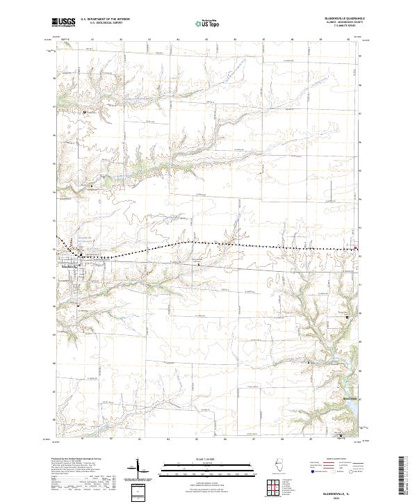
Blandinsville occupies the western edge of this agricultural landscape in northwestern Illinois, where a grid of rural roads connects scattered farmsteads and family burial grounds. The Blandinsville City Reservoir sits just north of the town center, which is organized around streets like E Washington St and Jefferson St. The surrounding terrain is defined by the winding paths of La Harpe Creek and the South Branch La Moine River, which cut through the level prairie to create distinct drainages.
Find a feature on this map
52 named features on this map. Tap any name to fly to it.
Don’t see what you’re looking for? This feature index may not catch every label — zoom into the map to look around manually.
Map Details
Editions of this 2024 Blandinsville Map
This is the sole edition of this map. No revisions or reprints were ever made.