Loading...
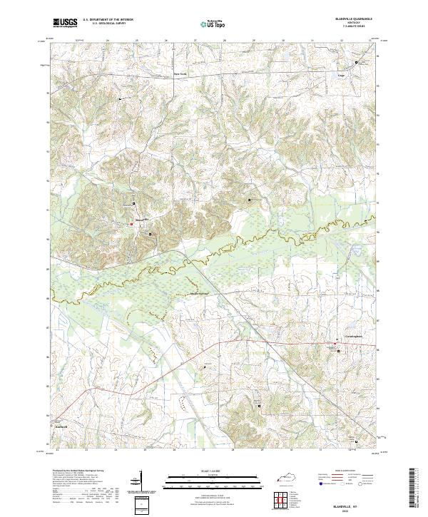
Loading map...2022 Map of Blandville
USGS Topo · Published 2022About this map
Blandville sits at a crossroads of Western Kentucky history, positioned just north of the extensive wetlands created by Mayfield Creek and the West Fork Mayfield Creek. The landscape transitions from the higher ground near New York and Gage into the broad, swampy bottoms of the Saint Arbor Slough, an area characterized by intricate drainage patterns like Hurricane Cr and Coon Br.
Find a feature on this map
73 named features on this map. Tap any name to fly to it.
Don’t see what you’re looking for? This feature index may not catch every label — zoom into the map to look around manually.
Map Details
Date Portrayed2022
Date Published2022
PublisherU.S. Geological Survey
Map TypeTopographic
Scale1:24000
Physical Dimensions24 x 29 inches
Editions of this 2022 Blandville Map
This is the sole edition of this map. No revisions or reprints were ever made.
Historical Maps of Kentucky Through Time
3 maps found
Featured Locations
Source Details
SourceU.S. Geological Survey
CopyrightPublic Domain