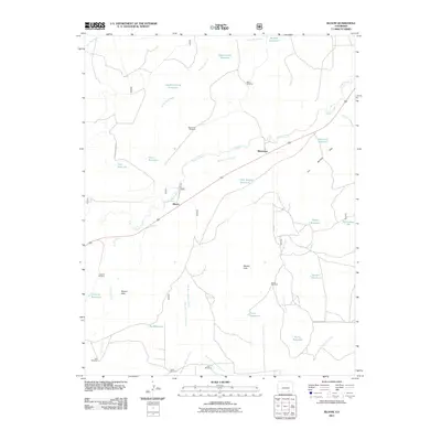
2011 Map of Bloom
USGS Topo · Published 2011About this map
Timpas Creek carves a winding path through this corner of the Colorado high plains, serving as the primary drainage for a landscape defined by its strategic water management. The settlement of Bloom and the nearby siding of Mindeman are positioned along the primary rail corridor, reflecting the historical importance of the railroad in connecting these isolated ranching and agricultural outposts. The map reveals an intricate network of arroyos and man-made water catchments, such as Lambing Camp Reservoir and Government Reservoir, which are essential for livestock in this arid environment.
Find a feature on this map
41 named features on this map. Tap any name to fly to it.
Don’t see what you’re looking for? This feature index may not catch every label — zoom into the map to look around manually.
Map Details
Editions of this 2011 Bloom Map
This is the sole edition of this map. No revisions or reprints were ever made.
Other maps of this area

1891 · Timpas
USGS Topo · 1:125,000

1891 · Apishapa
USGS Topo · 1:125,000

1893 · Apishapa
USGS Topo · 1:125,000

1894 · Timpas
USGS Topo · 1:125,000

1897 · Apishapa
USGS Topo · 1:125,000

1954 · Trinidad
USGS Topo · 1:250,000

1955 · La Junta
USGS Topo · 1:250,000

1955 · Trinidad
USGS Topo · 1:250,000

1958 · La Junta
USGS Topo · 1:250,000

1958 · Trinidad
USGS Topo · 1:250,000