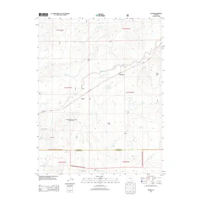
2013 Map of Bloom
USGS Topo · Published 2013About this map
Comanche National Grassland dominates this section of the High Plains, where the open prairie is shaped by a complex network of arroyos and water management features. The settlement of Bloom and the neighboring locale of Mindeman sit along the path of US Hwy 350, which parallels the winding course of Timpas Cr. This drainage system, including Jack Treese Arroyo and Taylor Arroyo, provides the primary structure to a landscape defined by ranching and resource extraction.
Find a feature on this map
45 named features on this map. Tap any name to fly to it.
Don’t see what you’re looking for? This feature index may not catch every label — zoom into the map to look around manually.
Map Details
Editions of this 2013 Bloom Map
This is the sole edition of this map. No revisions or reprints were ever made.
Other maps of this area

1891 · Timpas
USGS Topo · 1:125,000

1891 · Apishapa
USGS Topo · 1:125,000

1893 · Apishapa
USGS Topo · 1:125,000

1894 · Timpas
USGS Topo · 1:125,000

1897 · Apishapa
USGS Topo · 1:125,000

1954 · Trinidad
USGS Topo · 1:250,000

1955 · La Junta
USGS Topo · 1:250,000

1955 · Trinidad
USGS Topo · 1:250,000

1958 · La Junta
USGS Topo · 1:250,000

1958 · Trinidad
USGS Topo · 1:250,000