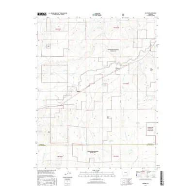
2016 Map of Bloom
USGS Topo · Published 2016About this map
Comanche National Grassland dominates this high plains landscape of Otero County, where a complex network of arroyos and ephemeral creeks defines the topography. The settlement of Bloom serves as a central point along the drainage of Timpas Cr, while Mindeman sits further northeast near the confluence of several dry washes. This area is characterized by an extensive system of water management features, including Prink Reservoir, Fink Reservoir, and Swisher Reservoir, highlighting the essential role of water storage in this semi-arid environment. The terrain is marked by distinctive elevations such as Iron Springs Hills and Merker Hills, which rise above the surrounding flats. Evidence of local industry appears at the Richardson Pit, while the southern boundary of the map follows the line between Otero and Las Animas counties, crossing through the Bloom Hills.
Find a feature on this map
38 named features on this map. Tap any name to fly to it.
Don’t see what you’re looking for? This feature index may not catch every label — zoom into the map to look around manually.
Map Details
Editions of this 2016 Bloom Map
This is the sole edition of this map. No revisions or reprints were ever made.
Other maps of this area

1891 · Timpas
USGS Topo · 1:125,000

1891 · Apishapa
USGS Topo · 1:125,000

1893 · Apishapa
USGS Topo · 1:125,000

1894 · Timpas
USGS Topo · 1:125,000

1897 · Apishapa
USGS Topo · 1:125,000

1954 · Trinidad
USGS Topo · 1:250,000

1955 · La Junta
USGS Topo · 1:250,000

1955 · Trinidad
USGS Topo · 1:250,000

1958 · La Junta
USGS Topo · 1:250,000

1958 · Trinidad
USGS Topo · 1:250,000