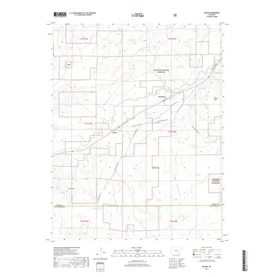
2019 Map of Bloom
USGS Topo · Published 2019About this map
Mindeman and Bloom occupy a landscape defined by historic transit and livestock ranching within the Comanche National Grassland. The map traces the legacy of Western migration with detailed labeling of the Santa Fe Nat Hist trail, including modern variants like SFNHT Alt. Route B and the Sheep Canyon Cutoff. This network of paths reflects the essential relationship between reliable water sources and the historic movement of people and animals across the high plains.
Find a feature on this map
41 named features on this map. Tap any name to fly to it.
Don’t see what you’re looking for? This feature index may not catch every label — zoom into the map to look around manually.
Map Details
Editions of this 2019 Bloom Map
This is the sole edition of this map. No revisions or reprints were ever made.
Other maps of this area

1891 · Timpas
USGS Topo · 1:125,000

1891 · Apishapa
USGS Topo · 1:125,000

1893 · Apishapa
USGS Topo · 1:125,000

1894 · Timpas
USGS Topo · 1:125,000

1897 · Apishapa
USGS Topo · 1:125,000

1954 · Trinidad
USGS Topo · 1:250,000

1955 · La Junta
USGS Topo · 1:250,000

1955 · Trinidad
USGS Topo · 1:250,000

1958 · La Junta
USGS Topo · 1:250,000

1958 · Trinidad
USGS Topo · 1:250,000