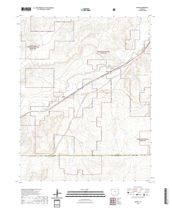
2022 Map of Bloom
USGS Topo · Published 2022About this map
The Santa Fe National Historic Trl cuts a path through this high plains landscape, following the corridor of Timpas Cr toward the settlement at Bloom. The terrain is defined by dry arroyos and a sophisticated system of water management, visible in the numerous catchment points like Lambing Camp Reservoir and Bear Springs Reservoir. These features reflect the area's essential relationship with the arid climate of the Comanche National Grassland.
Find a feature on this map
42 named features on this map. Tap any name to fly to it.
Don’t see what you’re looking for? This feature index may not catch every label — zoom into the map to look around manually.
Map Details
Editions of this 2022 Bloom Map
This is the sole edition of this map. No revisions or reprints were ever made.
Other maps of this area

1891 · Timpas
USGS Topo · 1:125,000

1891 · Apishapa
USGS Topo · 1:125,000

1893 · Apishapa
USGS Topo · 1:125,000

1894 · Timpas
USGS Topo · 1:125,000

1897 · Apishapa
USGS Topo · 1:125,000

1954 · Trinidad
USGS Topo · 1:250,000

1955 · La Junta
USGS Topo · 1:250,000

1955 · Trinidad
USGS Topo · 1:250,000

1958 · La Junta
USGS Topo · 1:250,000

1958 · Trinidad
USGS Topo · 1:250,000