Loading...
Loading map...2022 Map of Bloomer
USGS Topo · Published 2022About this map
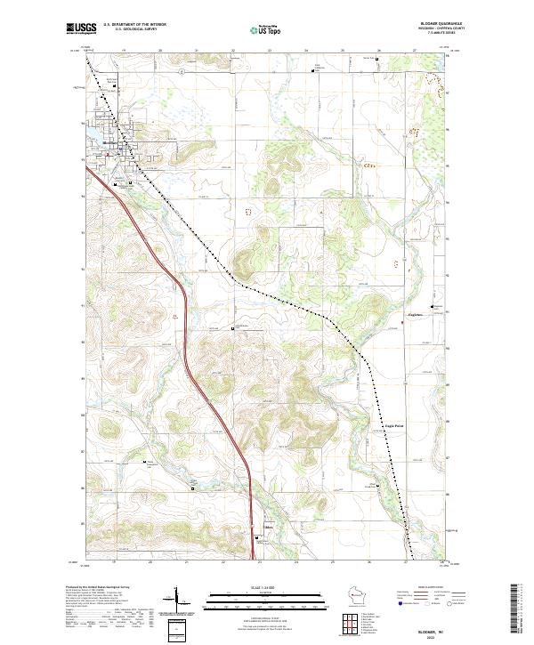
The city of Bloomer serves as the primary hub in this portion of Chippewa County, where a dense grid of streets like Main St and Chippewa Rd meets the winding path of Duncan Creek. The surrounding agricultural landscape is defined by the steady progression of the Public Land Survey System, with a regular network of roads such as 180th Ave and 87th St carving the terrain into productive sections.
Find a feature on this map
89 named features on this map. Tap any name to fly to it.
Don’t see what you’re looking for? This feature index may not catch every label — zoom into the map to look around manually.
Map Details
Date Portrayed2022
Date Published2022
PublisherU.S. Geological Survey
Map TypeTopographic
Scale1:24000
Physical Dimensions24 x 29 inches
Editions of this 2022 Bloomer Map
This is the sole edition of this map. No revisions or reprints were ever made.
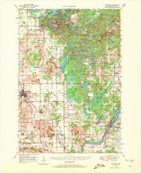
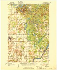
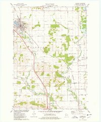
Historical Maps of Eagleton Through Time
5 maps found

Featured Locations
Source Details
SourceU.S. Geological Survey
CopyrightPublic Domain