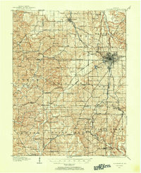
1908 Map of Bloomington
USGS Topo · Published 1954About this map
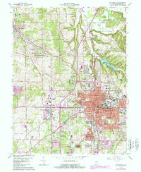
Bloomington serves as the focal point of this Southern Indiana landscape during the first decade of the twentieth century, with the burgeoning campus of Indiana University situated on the eastern edge of the city grid. The region’s economic foundation in limestone and rail transport is clearly visible through the numerous quarry spurs and sidings, such as Diamond Quarry Switch, Acme Switch, and Johnston Switch. Four major railroads, including the Chicago Indianapolis & Louisville RR and the Southern Indiana RR, converge here, facilitating the movement of materials and people across Monroe and Greene counties.
Find a feature on this map
108 named features on this map. Tap any name to fly to it.
Don’t see what you’re looking for? This feature index may not catch every label — zoom into the map to look around manually.
Map Details
Editions of this 1908 Bloomington Map
2 editions found
Historical Maps of Bloomington Through Time
11 maps found
1908 Bloomington
Monroe County, IN
1910 Bloomington
Monroe County, IN
1956 Bloomington
Monroe County, IN
1966 Bloomington
Monroe County, IN
1986 Bloomington
Monroe County, IN
1998 Bloomington
Monroe County, IN
2010 Bloomington
Monroe County, IN
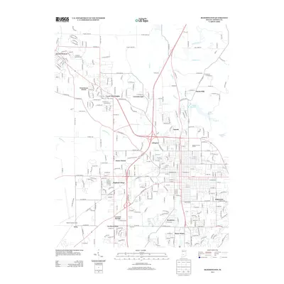
2013 Bloomington
Monroe County, IN
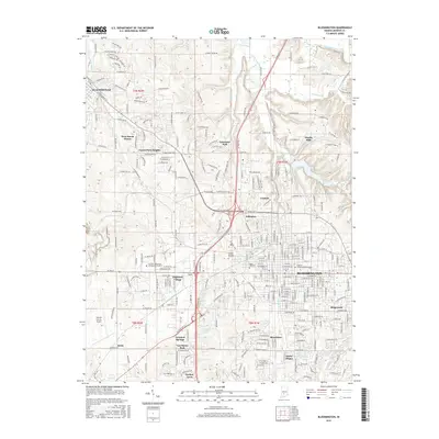
2016 Bloomington
Monroe County, IN
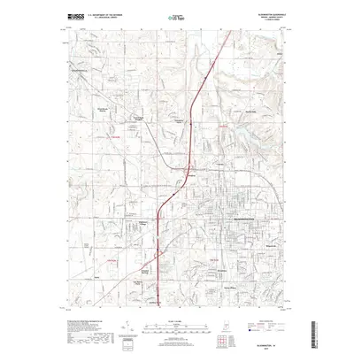
2019 Bloomington
Monroe County, IN
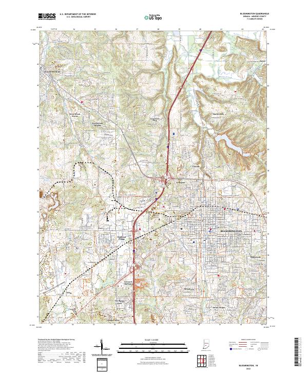
2022 Bloomington
Monroe County, IN