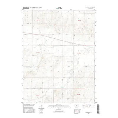
2015 Map of Bloomington
USGS Topo · Published 2015About this map
S Fork Solomon River flows eastward across this Osborne County landscape, anchoring the local topography near the small community of Bloomington. The area is defined by its agricultural grid, where section lines are marked by a regular network of roads such as W 70th Dr and S 180th Ave. Several drainages, including Medicine Cr and Kill Cr, carve through the terrain, illustrating the natural drainage patterns of the Central Plains. For those researching local history or genealogy, the map identifies two significant burial grounds: Bloomington Cem north of the main settlement and Mount Hope Cem to the south. These landmarks, along with the precise township and range boundaries like t7s r13w, provide essential spatial context for property and family history research in this part of Kansas.
Find a feature on this map
35 named features on this map. Tap any name to fly to it.
Don’t see what you’re looking for? This feature index may not catch every label — zoom into the map to look around manually.
Map Details
Editions of this 2015 Bloomington Map
This is the sole edition of this map. No revisions or reprints were ever made.
Other maps of this area

1893 · Smith Center
USGS Topo · 1:125,000

1896 · Osborne
USGS Topo · 1:125,000

1953 · Bloomington
USGS Topo · 1:24,000

1953 · Osborne
USGS Topo · 1:24,000

1953 · Alton
USGS Topo · 1:24,000

1955 · Beloit
USGS Topo · 1:250,000

1959 · Beloit
USGS Topo · 1:250,000

1961 · Portis
USGS Topo · 1:24,000

1961 · Harlan
USGS Topo · 1:24,000

1961 · Gaylord SW
USGS Topo · 1:24,000