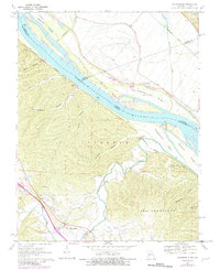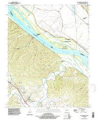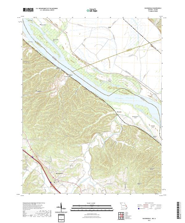
2021 Map of Bloomsdale
USGS Topo · Published 2021About this map
Bloomsdale and its surrounding countryside are captured here in a transition zone between the alluvial bottomlands of the Mississippi River and the rising, hollow-cut terrain of Ste. Genevieve County. This modern survey illustrates the complex hydrology of the river corridor, where Salt Lake Chute, Onemile Race Creek, and Establishment Chute weave around major landforms like Fort Chartres Island and Establishment Island. The map shows a landscape shaped by historical transport and drainage, featuring the Levee RD and Fults Cr Ditch system in the Illinois bottoms near Kidd. To the southwest, the terrain shifts abruptly into the bluffs, marked by deep drainages such as Quarry Hollow and Staples Hollow. Cultural anchors like the Saint Agnes Cem in Bloomsdale and small settlements such as Brickeys and Needmore provide essential points of reference for genealogists tracing family footprints across this Missouri-Illinois borderland.
Find a feature on this map
72 named features on this map. Tap any name to fly to it.
Don’t see what you’re looking for? This feature index may not catch every label — zoom into the map to look around manually.
Map Details
Editions of this 2021 Bloomsdale Map
This is the sole edition of this map. No revisions or reprints were ever made.
Historical Maps of Illinois Through Time
3 maps found