Loading...
Loading map...2024 Map of Blountsville
USGS Topo · Published 2024About this map
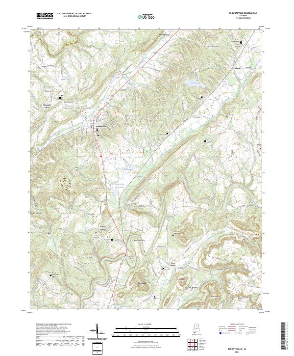
Blountsville serves as the central hub of this North Alabama landscape, where the town's grid meets a complex network of ridgelines and watercourses. The terrain is defined by prominent elevations such as Hamilton Mountain and Berry Mountain, which hem in the agricultural valleys. To the northwest, the Mulberry Fork forms a natural boundary with Cullman County, while the Locust Fork snakes through the southern reaches near Cleveland.
Find a feature on this map
144 named features on this map. Tap any name to fly to it.
Don’t see what you’re looking for? This feature index may not catch every label — zoom into the map to look around manually.
Map Details
Date Portrayed2024
Date Published2024
PublisherU.S. Geological Survey
Map TypeTopographic
Scale1:24000
Physical Dimensions24 x 29 inches
Editions of this 2024 Blountsville Map
This is the sole edition of this map. No revisions or reprints were ever made.
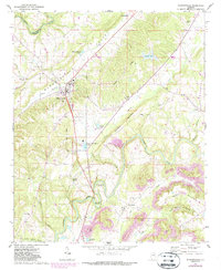
Historical Maps of Joy Through Time
3 maps found
Featured Locations
Source Details
SourceU.S. Geological Survey
CopyrightPublic Domain