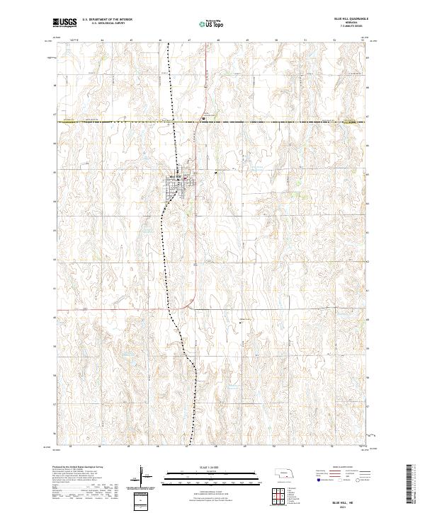
2021 Map of Blue Hill
USGS Topo · Published 2021About this map
The city of Blue Hill serves as the central hub of this agricultural landscape along the Adams Co Webster Co border. The town is laid out on a grid that includes notable thoroughfares like NW Railway St and S Liberty St, reflecting its historical reliance on the rail corridor that once defined its growth. To the north and south, the terrain is dotted with significant local landmarks including the Trinity Lutheran Cem and Walker Cem, which provide essential touchpoints for genealogical research in this part of Nebraska.
Find a feature on this map
55 named features on this map. Tap any name to fly to it.
Don’t see what you’re looking for? This feature index may not catch every label — zoom into the map to look around manually.
Map Details
Editions of this 2021 Blue Hill Map
This is the sole edition of this map. No revisions or reprints were ever made.
Other maps of this area
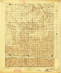
1897 · Red Cloud
USGS Topo · 1:125,000
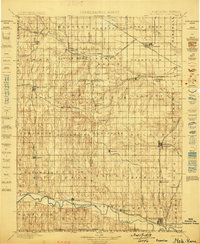
1898 · Superior
USGS Topo · 1:125,000
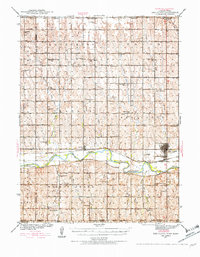
1940 · Red Cloud
USGS Topo · 1:62,500
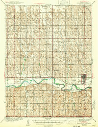
1942 · Red Cloud
USGS Topo · 1:62,500
1955 · Grand Island
USGS Topo · 1:250,000
1957 · Grand Island
USGS Topo · 1:250,000
1958 · Grand Island
USGS Topo · 1:250,000
1969 · Lawrence
USGS Topo · 1:24,000
1969 · Blue Hill
USGS Topo · 1:24,000
1969 · Roseland
USGS Topo · 1:24,000