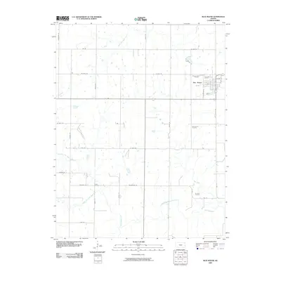
2009 Map of Blue Mound
USGS Topo · Published 2009About this map
Blue Mound serves as the primary hub of this Linn County landscape, where the town's street grid, including Main St and Colpetzer Rd, is clearly defined against the surrounding agricultural expanse. The area is a significant focal point for genealogical research, containing five distinct burial grounds such as Pleasant View Cemetery, Sunny Slope Cemetery, and the more remote Boulware Cemetery to the southeast.
Find a feature on this map
41 named features on this map. Tap any name to fly to it.
Don’t see what you’re looking for? This feature index may not catch every label — zoom into the map to look around manually.
Map Details
Editions of this 2009 Blue Mound Map
This is the sole edition of this map. No revisions or reprints were ever made.
Other maps of this area

1884 · Fort Scott
USGS Topo · 1:125,000

1885 · Garnett
USGS Topo · 1:125,000

1886 · Iola
USGS Topo · 1:125,000

1886 · Fort Scott
USGS Topo · 1:125,000

1887 · Mound City
USGS Topo · 1:125,000

1893 · Fort Scott
USGS Topo · 1:125,000

1893 · Iola
USGS Topo · 1:125,000

1893 · Mound City
USGS Topo · 1:125,000

1894 · Garnett
USGS Topo · 1:125,000

1904 · Iola
USGS Topo · 1:125,000