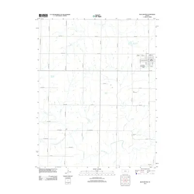
2012 Map of Blue Mound
USGS Topo · Published 2012About this map
Blue Mound serves as the primary hub of this Linn County landscape, characterized by a detailed grid of rural roads and numerous local burial grounds. The town is situated near the Blue Mound Reservoir and features local infrastructure like the Blue Mound Municipal Water Treatment Facility and a central Po. For genealogists, the map is particularly useful for its identification of five distinct cemeteries scattered across the countryside, including Pleasant View Cem, Sunny Slope Cem, and Boulware Cem. The terrain is defined by the drainage systems of the Little Osage River, its northern and middle forks, and the S Fork Sugar Cr. This network of waterways, including Irish Cr and Ross Br, dictates the placement of long-standing section roads like Wyoming Rd and Yellowstone Rd, reflecting the enduring agricultural layout of the region.
Find a feature on this map
57 named features on this map. Tap any name to fly to it.
Don’t see what you’re looking for? This feature index may not catch every label — zoom into the map to look around manually.
Map Details
Editions of this 2012 Blue Mound Map
This is the sole edition of this map. No revisions or reprints were ever made.
Other maps of this area

1884 · Fort Scott
USGS Topo · 1:125,000

1885 · Garnett
USGS Topo · 1:125,000

1886 · Iola
USGS Topo · 1:125,000

1886 · Fort Scott
USGS Topo · 1:125,000

1887 · Mound City
USGS Topo · 1:125,000

1893 · Fort Scott
USGS Topo · 1:125,000

1893 · Iola
USGS Topo · 1:125,000

1893 · Mound City
USGS Topo · 1:125,000

1894 · Garnett
USGS Topo · 1:125,000

1904 · Iola
USGS Topo · 1:125,000