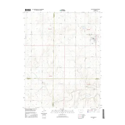
2015 Map of Blue Mound
USGS Topo · Published 2015About this map
The town of Blue Mound serves as the focal point for this eastern Kansas landscape, situated near the intersection of several county lines including Linn, Anderson, Bourbon, and Allen. The settlement is organized around a grid featuring Main St and Kansas Ave, with the local Po located near the town center. The surrounding rural environment is defined by a dense network of cemeteries, suggesting long-standing family ties and historical settlement patterns, including Pleasant View Cem, Sunny Slope Cem, and the Blue Mound Cem.
Find a feature on this map
60 named features on this map. Tap any name to fly to it.
Don’t see what you’re looking for? This feature index may not catch every label — zoom into the map to look around manually.
Map Details
Editions of this 2015 Blue Mound Map
This is the sole edition of this map. No revisions or reprints were ever made.
Other maps of this area

1884 · Fort Scott
USGS Topo · 1:125,000

1885 · Garnett
USGS Topo · 1:125,000

1886 · Iola
USGS Topo · 1:125,000

1886 · Fort Scott
USGS Topo · 1:125,000

1887 · Mound City
USGS Topo · 1:125,000

1893 · Fort Scott
USGS Topo · 1:125,000

1893 · Iola
USGS Topo · 1:125,000

1893 · Mound City
USGS Topo · 1:125,000

1894 · Garnett
USGS Topo · 1:125,000

1904 · Iola
USGS Topo · 1:125,000