
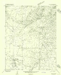
1952 Map of Bluff 3 SE
USGS Topo · Published 1954About this map
The Navajo Indian Reservation in San Juan County is documented here during the early 1950s, a period before extensive modern infrastructure reached this part of the desert southwest. The landscape is defined by the drainage systems of Gypsum Creek and Cane Valley Wash, which carve through the arid terrain of Cane Valley. A solitary Hogan is marked on the sheet, providing a rare localized record of traditional habitation patterns within the reservation during this era.
Find a feature on this map
8 named features on this map. Tap any name to fly to it.
Don’t see what you’re looking for? This feature index may not catch every label — zoom into the map to look around manually.
Map Details
Editions of this 1952 Bluff 3 SE Map
This is the sole edition of this map. No revisions or reprints were ever made.
Other maps of this area

1886 · Abajo
USGS Topo · 1:250,000

1892 · Abajo
USGS Topo · 1:250,000

1892 · Canyon De Chelly
USGS Topo · 1:250,000

1893 · Abajo
USGS Topo · 1:250,000

1952 · Dinnehotso
USGS Topo · 1:62,500
1952 · Bluff 3 SW
USGS Topo · 1:24,000

1952 · Setsiltso Springs 2 NW
USGS Topo · 1:24,000

1952 · Setsiltso Springs 2 NE
USGS Topo · 1:24,000

1954 · Shiprock
USGS Topo · 1:250,000

1956 · Cortez
USGS Topo · 1:250,000