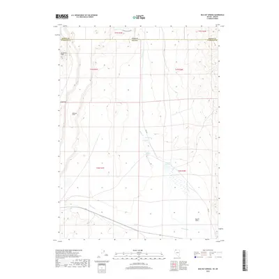
2018 Map of Bog Hot Springs
USGS Topo · Published 2018About this map
Bog Hot Springs and the surrounding high desert of the Great Basin define this landscape along the border of Nevada and Oregon. This remote corner of Humboldt County is shaped by a complex system of thermal and freshwater sources, including Warm Springs, Cold Spring, and the seasonal waters of Thousand Cr. The map reveals a land utilized for water management in an arid environment, evidenced by the Bog Hot Reservoir situated within the wide Bog Hot Valley. Distinctive landforms such as Big Spring Table and Railroad Point rise above the drainage of Rincon Cr, while the isolated Oregon End Table Rd provides one of the few points of access across the state line. The survey captures the intersection of public land survey sections and the stark geological features of the northwestern Nevada basin.
Find a feature on this map
20 named features on this map. Tap any name to fly to it.
Don’t see what you’re looking for? This feature index may not catch every label — zoom into the map to look around manually.
Map Details
Editions of this 2018 Bog Hot Springs Map
This is the sole edition of this map. No revisions or reprints were ever made.
Other maps of this area

1886 · Disaster
USGS Topo · 1:250,000

1893 · Disaster
USGS Topo · 1:250,000

1954 · Vya
USGS Topo · 1:250,000

1955 · Adel
USGS Topo · 1:250,000

1957 · Adel
USGS Topo · 1:250,000

1958 · Vya
USGS Topo · 1:250,000

1958 · Adel
USGS Topo · 1:250,000

1962 · Vya
USGS Topo · 1:250,000

1962 · Adel
USGS Topo · 1:250,000

1965 · Railroad Point
USGS Topo · 1:62,500