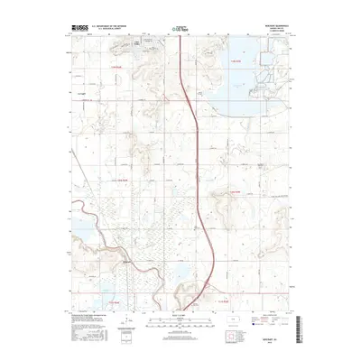
2015 Map of Boicourt
USGS Topo · Published 2015About this map
Linn Valley and La Cygne anchor this portion of eastern Kansas, where the landscape is defined by the broad floodplain of the Marais des Cygnes River. The map reveals a complex water system, from the wide expanse of La Cygne Lake to the marshy wetlands surrounding Boicourt Lake and the winding course of Middle Cr. Local history is preserved through several family and community landmarks, including Ninety Six Cem and the evocatively named Sway Back Cem. Traces of the region's industrial past are visible on the eastern edge of the quadrangle, where the PR RD Old Coal Mine Haul Rd cuts across the terrain near the Linn County line. The settlement of Boicourt sits at a geographic transition, nestled between the river's bends and the rising uplands to the east.
Find a feature on this map
58 named features on this map. Tap any name to fly to it.
Don’t see what you’re looking for? This feature index may not catch every label — zoom into the map to look around manually.
Map Details
Editions of this 2015 Boicourt Map
This is the sole edition of this map. No revisions or reprints were ever made.
Other maps of this area

1887 · Mound City
USGS Topo · 1:125,000

1893 · Mound City
USGS Topo · 1:125,000

1938 · Worland
USGS Topo · 1:24,000

1940 · Worland
USGS Topo · 1:24,000

1947 · Lawrence
USGS Topo · 1:250,000

1950 · Lawrence
USGS Topo · 1:250,000

1956 · Lawrence
USGS Topo · 1:250,000
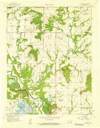
1957 · Boicourt
USGS Topo · 1:24,000
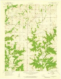
1957 · New Lancaster
USGS Topo · 1:24,000

1958 · La Cygne
USGS Topo · 1:24,000