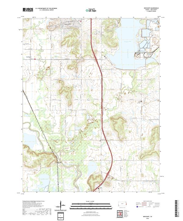
2022 Map of Boicourt
USGS Topo · Published 2022About this map
The Marais des Cygnes River winds through the southern reaches of this Linn County landscape, defining a terrain shaped by both water and industry. Established settlements like Boicourt and Linn Valley anchor the region, while the presence of Pr Rd - Old Coal Mine Haul Rd provides a clear link to the area's coal mining history. North of the river, Boicourt Lake and the expansive La Cygne Lake dominate the eastern topography, fed by North Sugar Creek and Middle Cr.
Find a feature on this map
64 named features on this map. Tap any name to fly to it.
Don’t see what you’re looking for? This feature index may not catch every label — zoom into the map to look around manually.
Map Details
Editions of this 2022 Boicourt Map
This is the sole edition of this map. No revisions or reprints were ever made.
Other maps of this area

1887 · Mound City
USGS Topo · 1:125,000

1893 · Mound City
USGS Topo · 1:125,000

1938 · Worland
USGS Topo · 1:24,000

1940 · Worland
USGS Topo · 1:24,000

1947 · Lawrence
USGS Topo · 1:250,000

1950 · Lawrence
USGS Topo · 1:250,000

1956 · Lawrence
USGS Topo · 1:250,000
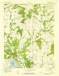
1957 · Boicourt
USGS Topo · 1:24,000
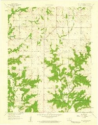
1957 · New Lancaster
USGS Topo · 1:24,000

1958 · La Cygne
USGS Topo · 1:24,000