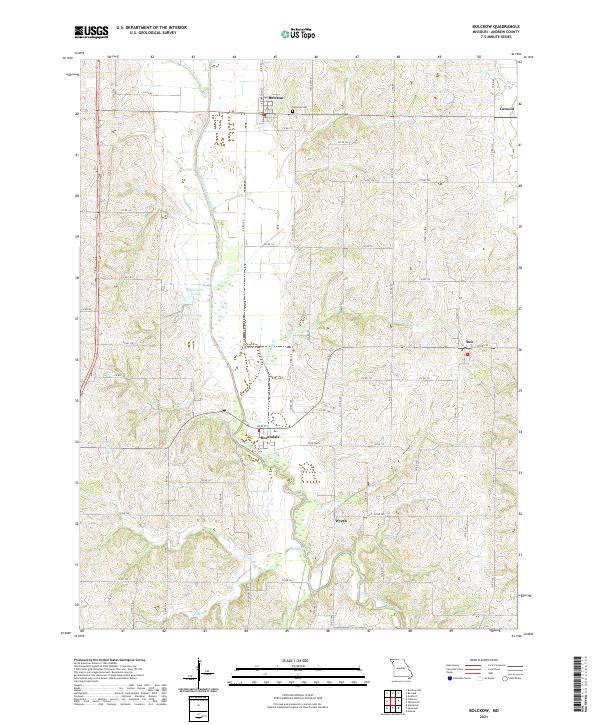
2021 Map of Bolckow
USGS Topo · Published 2021About this map
The One Hundred and Two River carves a winding path through this portion of Andrew County, Missouri, anchoring a landscape of rural townships and small agricultural hubs. The town of Bolckow sits in the northern reaches, served by the Bolckow Cem, while Rosendale and Rea define the southern and eastern horizons. This modern survey reflects a settlement pattern largely dictated by the river valley and the grid of county roads that connect isolated farmsteads to the regional centers of Wyeth and Cawood.
Find a feature on this map
75 named features on this map. Tap any name to fly to it.
Don’t see what you’re looking for? This feature index may not catch every label — zoom into the map to look around manually.
Map Details
Editions of this 2021 Bolckow Map
This is the sole edition of this map. No revisions or reprints were ever made.
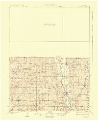
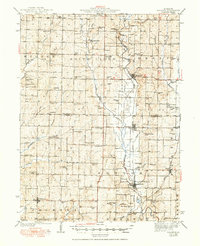
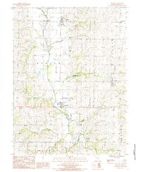
Historical Maps of Rea Through Time
4 maps found