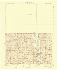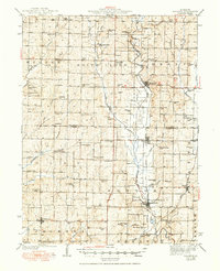
1984 Map of Bolckow
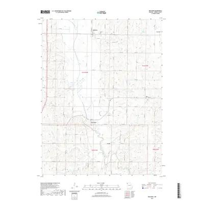
USGS Topo · Published 1985About this map
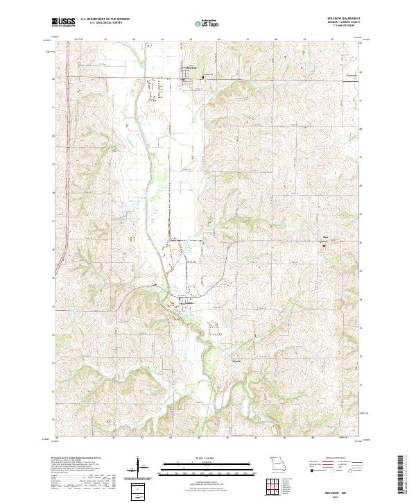
Bolckow and Rosendale anchor this mid-1980s look at northern Andrew County, where the valley of the One Hundred and Two River dominates the landscape. The river's path is heavily modified by an extensive system of Levees and drainage improvements, reflecting decades of agricultural engineering intended to manage the fertile bottomlands between Benton and Platte townships. Evidence of earlier transportation networks is prominent, with an Old Railroad Grade running north of Rosendale and another Abandoned rail line passing through Wyeth. Conservation and recreation areas are well-established by this era, notably at the Eva Neely Davis Memorial State Forest and the Hadorn Bridge Access Area on the river. Smaller watercourses like White Cloud, Upper Neely Branch, and Kellog Branch feed the main river system, while the community of Rea sits on the eastern upland edge.
Find a feature on this map
25 named features on this map. Tap any name to fly to it.
Don’t see what you’re looking for? This feature index may not catch every label — zoom into the map to look around manually.
Map Details
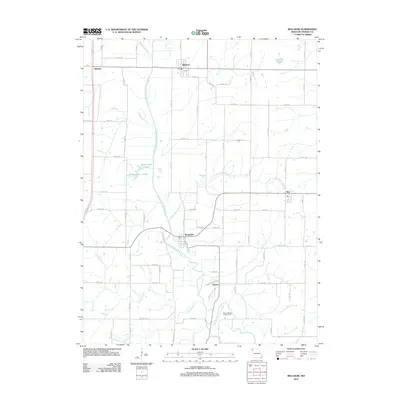
Editions of this 1984 Bolckow Map
This is the sole edition of this map. No revisions or reprints were ever made.
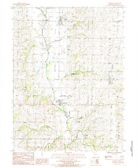
Historical Maps of Bolckow Through Time
7 maps found