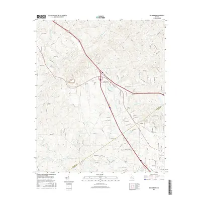
2017 Map of Bolingbroke
USGS Topo · Published 2017About this map
Bolingbroke and Lorane anchor this landscape along the Monroe-Bibb county line, where the transition from rural acreage to the outskirts of Macon is clearly visible. The area is dense with family and community history, evidenced by a high concentration of burial grounds including Salem Cemetery, Winn Cemetery, and Pleasant Grove Cemetery. Water defines the geography, with the headwaters of Colaparchee Creek and Beaverdam Creek cutting through the terrain. Numerous private impoundments such as McEacherns Lake and Lamon Lake are scattered among the ridges, while the larger Lake Wildwood sits at the southern edge near the Macon-Bibb County border. The road network, featuring names like Old Macon Rd and Zebulon Rd, reflects the long-standing corridors connecting these outlying settlements to the regional hub of Macon.
Find a feature on this map
124 named features on this map. Tap any name to fly to it.
Don’t see what you’re looking for? This feature index may not catch every label — zoom into the map to look around manually.
Map Details
Editions of this 2017 Bolingbroke Map
This is the sole edition of this map. No revisions or reprints were ever made.
Other maps of this area

1951 · Forsyth
USGS Topo · 1:62,500

1953 · Athens
USGS Topo · 1:250,000

1956 · Bolingbroke
USGS Topo · 1:62,500

1956 · Macon West
USGS Topo · 1:24,000

1956 · Macon
USGS Topo · 1:62,500

1957 · Macon
USGS Topo · 1:250,000

1958 · Macon
USGS Topo · 1:250,000

1958 · Athens
USGS Topo · 1:250,000

1959 · Athens
USGS Topo · 1:250,000

1963 · Athens
USGS Topo · 1:250,000