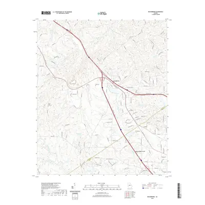
2020 Map of Bolingbroke
USGS Topo · Published 2020About this map
The boundary between Monroe and Bibb counties defines the geographic heart of this landscape, where the rural crossroads of Bolingbroke and Lorane stand amidst an intricate network of creeks and small lakes. Settlement patterns are deeply rooted in the area's spiritual and family history, evidenced by numerous burial sites such as Salem Cemetery and Wadley Cemetery, alongside active congregations at Pleasant Grove Church and Mount Zion. The terrain is shaped by the drainages of Colaparchee Creek and Beaverdam Creek, which flow through a topography of subtle rises like Lovetts Ridge. Modern residential growth is visible in the suburban subdivisions south of Zebulon Road, where newer streets like Barrington Hall Drive and Greentree Parkway contrast with the older, winding rural routes and established water bodies like Williamson Lake and Lamon Lake.
Find a feature on this map
121 named features on this map. Tap any name to fly to it.
Don’t see what you’re looking for? This feature index may not catch every label — zoom into the map to look around manually.
Map Details
Editions of this 2020 Bolingbroke Map
This is the sole edition of this map. No revisions or reprints were ever made.
Other maps of this area

1951 · Forsyth
USGS Topo · 1:62,500

1953 · Athens
USGS Topo · 1:250,000

1956 · Bolingbroke
USGS Topo · 1:62,500

1956 · Macon West
USGS Topo · 1:24,000

1956 · Macon
USGS Topo · 1:62,500

1957 · Macon
USGS Topo · 1:250,000

1958 · Macon
USGS Topo · 1:250,000

1958 · Athens
USGS Topo · 1:250,000

1959 · Athens
USGS Topo · 1:250,000

1963 · Athens
USGS Topo · 1:250,000