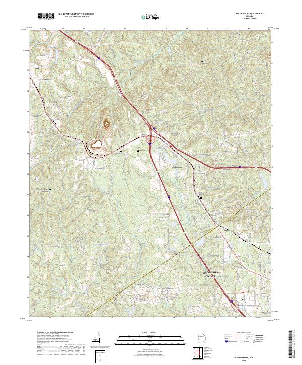
2024 Map of Bolingbroke
USGS Topo · Published 2024About this map
Bolingbroke and the surrounding Georgia countryside are mapped here along the boundary between Monroe and Macon-Bibb counties. The landscape is characterized by a dense network of small family and church burial grounds, including Wadley Cem, Winn Cem, and the Pleasant Grove Church Cem, which serve as vital landmarks for local genealogists. The settlement at Smarr anchors the northwestern corner of the quadrangle, while Lorane sits further south near the branching headwaters of Colaparchee Creek.
Find a feature on this map
110 named features on this map. Tap any name to fly to it.
Don’t see what you’re looking for? This feature index may not catch every label — zoom into the map to look around manually.
Map Details
Editions of this 2024 Bolingbroke Map
This is the sole edition of this map. No revisions or reprints were ever made.
Other maps of this area

1951 · Forsyth
USGS Topo · 1:62,500

1953 · Athens
USGS Topo · 1:250,000

1956 · Bolingbroke
USGS Topo · 1:62,500

1956 · Macon West
USGS Topo · 1:24,000

1956 · Macon
USGS Topo · 1:62,500

1957 · Macon
USGS Topo · 1:250,000

1958 · Macon
USGS Topo · 1:250,000

1958 · Athens
USGS Topo · 1:250,000

1959 · Athens
USGS Topo · 1:250,000

1963 · Athens
USGS Topo · 1:250,000