Loading...
Loading map...2023 Map of Bolivar
USGS Topo · Published 2023About this map
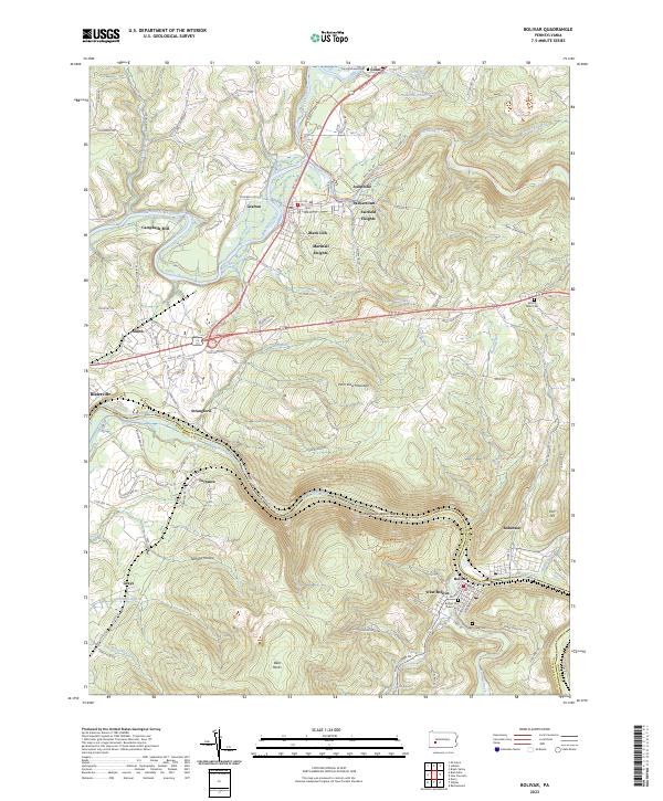
Black Lick and the surrounding valley communities of Fairfield Heights and Palmertown sit at the northern edge of this Pennsylvania landscape where the Conemaugh River carves a deep path through the terrain. The river forms a natural boundary between Indiana and Westmoreland counties, notably creating the dramatic Conemaugh Water Gap as it winds past the borough of Bolivar.
Find a feature on this map
46 named features on this map. Tap any name to fly to it.
Don’t see what you’re looking for? This feature index may not catch every label — zoom into the map to look around manually.
Map Details
Date Portrayed2023
Date Published2023
PublisherU.S. Geological Survey
Map TypeTopographic
Scale1:24000
Physical Dimensions24 x 29 inches
Editions of this 2023 Bolivar Map
This is the sole edition of this map. No revisions or reprints were ever made.
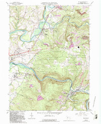
Historical Maps of West Wheatfield Township Through Time
Featured Locations
- Fairfield Township, PA
- Bolivar, PA
- Black Lick Township, PA
- Brush Valley Township, PA
- Center Township, PA
Source Details
SourceU.S. Geological Survey
CopyrightPublic Domain