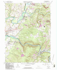
1964 Map of Bolivar
USGS Topo · Published 1993About this map
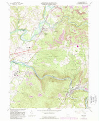
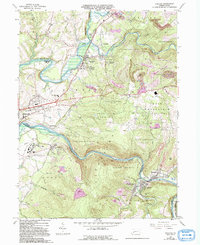
The Conemaugh River carves a deep valley between Penn View Mountain and Chestnut Ridge, defining the border between Westmoreland and Indiana Counties. This mid-century survey captures a landscape shaped by coal extraction and heavy transport, evidenced by numerous Reclaimed Strip Mines and the persistent footprint of the Old Pennsylvania Canal near Strangford. The river's winding path serves as a corridor for the Conrail line, connecting riverside communities like Torrance, where the expansive grounds of the Torrance State Hospital are clearly delineated.
Find a feature on this map
56 named features on this map. Tap any name to fly to it.
Don’t see what you’re looking for? This feature index may not catch every label — zoom into the map to look around manually.
Map Details
Editions of this 1964 Bolivar Map
6 editions found
Other maps of this area

1900 · Latrobe
USGS Topo · 1:62,500

1902 · Latrobe
USGS Topo · 1:62,500

1902 · Indiana
USGS Topo · 1:62,500

1902 · Elders Ridge
USGS Topo · 1:62,500

1903 · Latrobe
USGS Topo · 1:62,500

1904 · Elders Ridge
USGS Topo · 1:62,500

1920 · New Florence
USGS Topo · 1:62,500

1921 · New Florence
USGS Topo · 1:48,000

1922 · New Florence
USGS Topo · 1:62,500

1944 · New Florence
USGS Topo · 1:62,500
Featured Places
- Brush Valley Township, PA
- Black Lick Township, PA
- Bolivar, PA
- Fairfield Township, PA
- Burrell Township, PA