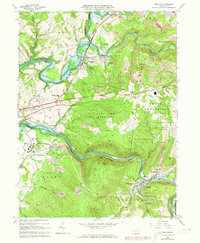
1964 Map of Bolivar
USGS Topo · Published 1973About this map
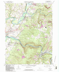
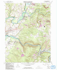
The Conemaugh River and Blacklick Creek carve deep valleys through this portion of the Allegheny Plateau, where heavy industrial development meets the steep slopes of Penn View Mountain. During the mid-1960s, the region was defined by a landscape of extraction and institutional presence, most notably the expansive grounds of the Torrance State Hospital and numerous strip mines dotting the ridges. The complex rail network of the Penn Central and Baltimore and Ohio railroads follows the watercourses, servicing established coal and manufacturing settlements like Black Lick, Josephine, and Bolivar. Local history is preserved in landmarks such as Mt Tabor Ch, Campbells Mill, and the Westview Cem. High on the ridges, the Lookout Tower and State Game Lands No 153 offer a contrast to the dense river-bottom activity of the Tannery Hollow area.
Find a feature on this map
60 named features on this map. Tap any name to fly to it.
Don’t see what you’re looking for? This feature index may not catch every label — zoom into the map to look around manually.
Map Details
Editions of this 1964 Bolivar Map
6 editions found
Other maps of this area

1900 · Latrobe
USGS Topo · 1:62,500

1902 · Latrobe
USGS Topo · 1:62,500

1902 · Indiana
USGS Topo · 1:62,500

1902 · Elders Ridge
USGS Topo · 1:62,500

1903 · Latrobe
USGS Topo · 1:62,500

1904 · Elders Ridge
USGS Topo · 1:62,500

1920 · New Florence
USGS Topo · 1:62,500

1921 · New Florence
USGS Topo · 1:48,000

1922 · New Florence
USGS Topo · 1:62,500

1944 · New Florence
USGS Topo · 1:62,500
Featured Places
- Brush Valley Township, PA
- Black Lick Township, PA
- Bolivar, PA
- Fairfield Township, PA
- Burrell Township, PA