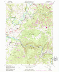
1964 Map of Bolivar
USGS Topo · Published 1989About this map
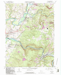
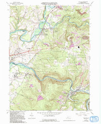
Torrance State Hospital and its expansive grounds occupy the valley floor south of the Conemaugh River, marking a significant institutional presence in Westmoreland County during this mid-century period. The landscape is defined by the sharp transition between the industrial river corridor and the high elevation of Penn View Mountain. Along the water, the historical path of the Old Pennsylvania Canal remains visible near Strangford, tracing a defunct transportation route that once linked these mountain settlements to wider markets.
Find a feature on this map
61 named features on this map. Tap any name to fly to it.
Don’t see what you’re looking for? This feature index may not catch every label — zoom into the map to look around manually.
Map Details
Editions of this 1964 Bolivar Map
6 editions found
Other maps of this area

1900 · Latrobe
USGS Topo · 1:62,500

1902 · Latrobe
USGS Topo · 1:62,500

1902 · Indiana
USGS Topo · 1:62,500

1902 · Elders Ridge
USGS Topo · 1:62,500

1903 · Latrobe
USGS Topo · 1:62,500

1904 · Elders Ridge
USGS Topo · 1:62,500

1920 · New Florence
USGS Topo · 1:62,500

1921 · New Florence
USGS Topo · 1:48,000

1922 · New Florence
USGS Topo · 1:62,500

1944 · New Florence
USGS Topo · 1:62,500
Featured Places
- Brush Valley Township, PA
- Black Lick Township, PA
- Bolivar, PA
- Fairfield Township, PA
- Burrell Township, PA