
1922 Map of New Florence
USGS Topo · Published 1922About this map
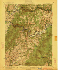
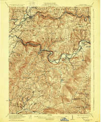
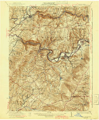
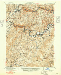
The Conemaugh River cuts a deep, winding passage through the Laurel Ridge in this early 1920s survey, illustrating the industrial and transit corridor of Westmoreland and Indiana counties. The Pennsylvania RR follows the river's path, serving a string of rail-dependent communities like Bolivar, Robinson, and the double-named Robindale (Smokeless PO). To the north, the B R and P Ry reaches the settlement of Josephine, while the southern reaches of the map around Ligonier show a dense network of rural schools and churches, including the Fort Palmer Church and Hillview School. Cultural markers such as Bear Cave and Squirrel Hill sit alongside industrial features like various quarries, providing a detailed look at the extraction and transportation economy of the era. This landscape is a patchwork of small family-named landmarks, from McCroa Row to the Mellons estate, reflecting the localized social structure of western Pennsylvania.
Find a feature on this map
113 named features on this map. Tap any name to fly to it.
Don’t see what you’re looking for? This feature index may not catch every label — zoom into the map to look around manually.
Map Details
Editions of this 1922 New Florence Map
5 editions found
Other maps of this area

1900 · Latrobe
USGS Topo · 1:62,500

1902 · Latrobe
USGS Topo · 1:62,500

1902 · Indiana
USGS Topo · 1:62,500

1902 · Barnesboro
USGS Topo · 1:62,500

1902 · Elders Ridge
USGS Topo · 1:62,500

1903 · Latrobe
USGS Topo · 1:62,500

1904 · Barnesboro
USGS Topo · 1:62,500

1904 · Elders Ridge
USGS Topo · 1:62,500

1904 · Johnstown
USGS Topo · 1:62,500

1907 · Johnstown
USGS Topo · 1:62,500