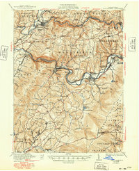
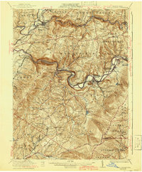
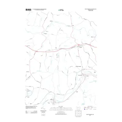
1922 Map of New Florence
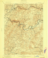
USGS Topo · Published 1949About this map
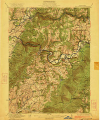
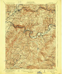
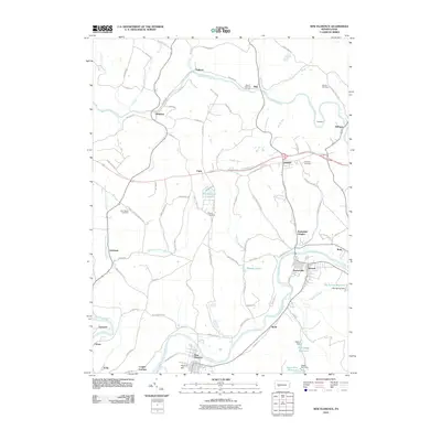
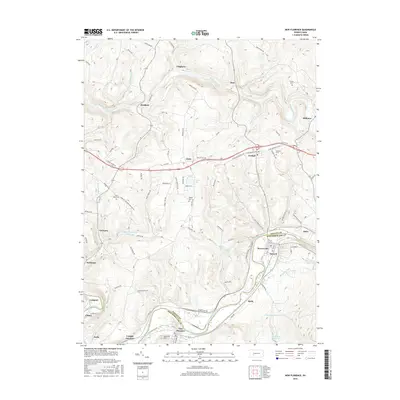
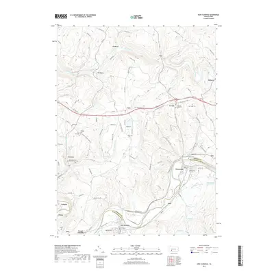
The Conemaugh River carves a deep path through the highlands of Westmoreland and Indiana Counties, serving as the primary corridor for the Pennsylvania railroad and early industrial development. Along its banks, the settlements of Bolivar, New Florence, and Seward anchor a landscape defined by sharp elevation changes and the crossing of major transport routes. To the north, Blacklick Creek supports mining and milling communities like Josephine and Black Lick, where localized heights such as Marshall Heights and Fairview Heights rise above the valley floor.
Find a feature on this map
122 named features on this map. Tap any name to fly to it.
Don’t see what you’re looking for? This feature index may not catch every label — zoom into the map to look around manually.
Map Details
Editions of this 1922 New Florence Map
5 editions found
Historical Maps of Brush Valley Township Through Time
10 maps found

1920 New Florence
Westmoreland County, PA

1921 New Florence
Westmoreland County, PA
1922 New Florence
Westmoreland County, PA
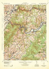
1944 New Florence
Westmoreland County, PA
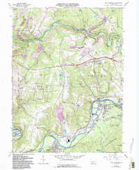
1964 New Florence
Westmoreland County, PA
2010 New Florence
Westmoreland County, PA
2013 New Florence
Westmoreland County, PA
2016 New Florence
Westmoreland County, PA
2019 New Florence
Westmoreland County, PA
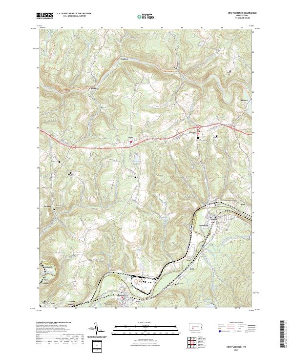
2023 New Florence
Westmoreland County, PA