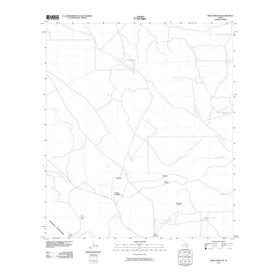
2010 Map of Bone Spring NE
USGS Topo · Published 2010About this map
The Santiago Mountains dominate the southwestern corner of this West Texas landscape, where the high desert terrain is defined by a network of ephemeral water sources and deep cuts. The intermittent Maravillas Creek winds across the center of the sheet, joined by drainages like Nine Point Draw and the dramatic Big Brushy Canyon. This area of Brewster County relies heavily on ranching infrastructure, evidenced by numerous named water tanks and windmills that serve as critical landmarks in an otherwise sparse environment.
Find a feature on this map
17 named features on this map. Tap any name to fly to it.
Don’t see what you’re looking for? This feature index may not catch every label — zoom into the map to look around manually.
Map Details
Editions of this 2010 Bone Spring NE Map
This is the sole edition of this map. No revisions or reprints were ever made.
Other maps of this area
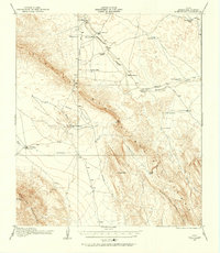
1917 · Bone Spring
USGS Topo · 1:62,500
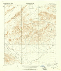
1917 · Hood Spring
USGS Topo · 1:62,500
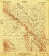
1918 · Bone Spring
USGS Topo · 1:125,000
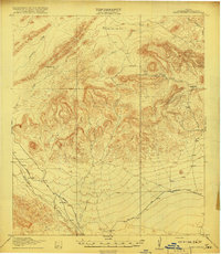
1918 · Hood Spring
USGS Topo · 1:62,500
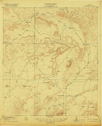
1918 · Dove Mountain
USGS Topo · 1:62,500
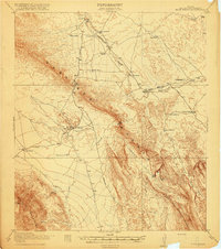
1918 · Bone Spring
USGS Topo · 1:62,500
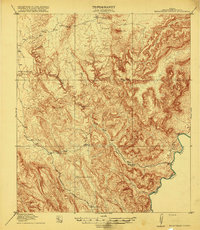
1919 · Maravillas Canyon
USGS Topo · 1:62,500
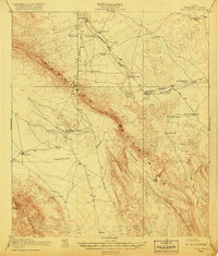
1920 · Bone Spring
USGS Topo · 1:62,500
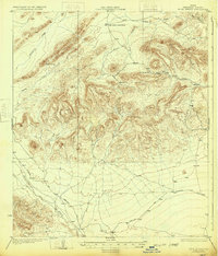
1931 · Hood Spring
USGS Topo · 1:62,500
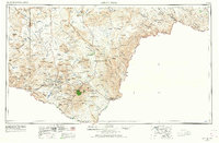
1959 · Emory Peak
USGS Topo · 1:250,000