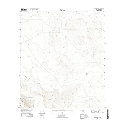
2016 Map of Bone Spring NE
USGS Topo · Published 2016About this map
Big Bend National Park occupies the southwestern corner of this West Texas landscape, where the Chihuahuan Desert meets the northern reaches of the park's protected boundaries. The area is defined by a sparse but critical network of water management features, including several stock tanks such as Cow Heaven Tank, Bear Cr Tank, and Norton Tank. These landmarks are vital navigation points in a region dominated by drainage systems like Maravillas Cr and the topographical depression of Nine Point Draw.
Find a feature on this map
12 named features on this map. Tap any name to fly to it.
Don’t see what you’re looking for? This feature index may not catch every label — zoom into the map to look around manually.
Map Details
Editions of this 2016 Bone Spring NE Map
This is the sole edition of this map. No revisions or reprints were ever made.
Other maps of this area

1917 · Bone Spring
USGS Topo · 1:62,500

1917 · Hood Spring
USGS Topo · 1:62,500

1918 · Bone Spring
USGS Topo · 1:125,000

1918 · Hood Spring
USGS Topo · 1:62,500

1918 · Dove Mountain
USGS Topo · 1:62,500

1918 · Bone Spring
USGS Topo · 1:62,500

1919 · Maravillas Canyon
USGS Topo · 1:62,500

1920 · Bone Spring
USGS Topo · 1:62,500

1931 · Hood Spring
USGS Topo · 1:62,500

1959 · Emory Peak
USGS Topo · 1:250,000