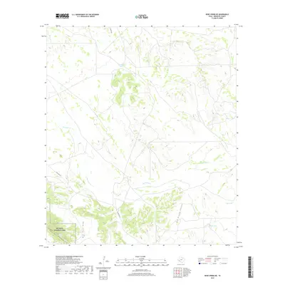
2019 Map of Bone Spring NE
USGS Topo · Published 2019About this map
Big Bend National Park occupies the southwestern corner of this Brewster County landscape, where the Santiago Mountains rise from the desert floor. The terrain is defined by complex drainage systems and water management in an arid environment. The prominent Nine Point Draw and Big Brushy Canyon channel seasonal runoff through the highlands, while the course of Maravillas Cr cuts across the central plains. Ranching infrastructure is evident through a series of named water catchments, including Key Cabin Tank, Bear Cr Tank, and Norton Tank, which supported livestock in this remote Trans-Pecos region. Transportation is limited to isolated corridors like Ranch Rd 2627 and Dove Mt Rd, illustrating the vast, sparsely populated nature of the Big Bend country in the early 21st century.
Find a feature on this map
11 named features on this map. Tap any name to fly to it.
Don’t see what you’re looking for? This feature index may not catch every label — zoom into the map to look around manually.
Map Details
Editions of this 2019 Bone Spring NE Map
This is the sole edition of this map. No revisions or reprints were ever made.
Other maps of this area

1917 · Bone Spring
USGS Topo · 1:62,500

1917 · Hood Spring
USGS Topo · 1:62,500

1918 · Bone Spring
USGS Topo · 1:125,000

1918 · Hood Spring
USGS Topo · 1:62,500

1918 · Dove Mountain
USGS Topo · 1:62,500

1918 · Bone Spring
USGS Topo · 1:62,500

1919 · Maravillas Canyon
USGS Topo · 1:62,500

1920 · Bone Spring
USGS Topo · 1:62,500

1931 · Hood Spring
USGS Topo · 1:62,500

1959 · Emory Peak
USGS Topo · 1:250,000