Loading...
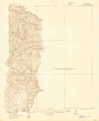
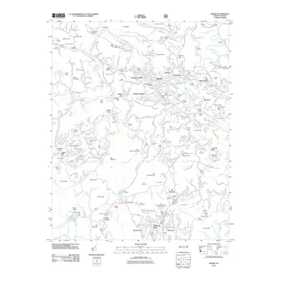
Loading map...1934 Map of Boone
USGS Topo · Published 1934About this map
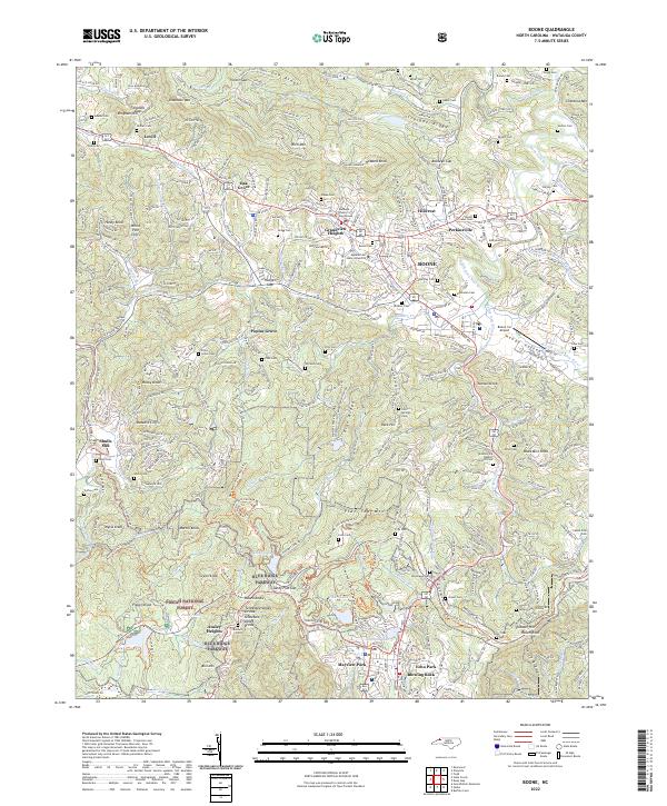
Rich Mountain and its surrounding gaps dominate this 1934 topographic survey of Watauga County, North Carolina. The map captures a landscape transitioning into the mid-20th century, where rural community life is anchored by institutions like the County Home and local congregations at Brushy Fork Ch and Oak Grove Ch. Settlement patterns follow the high-country topography, with clusters at Adams, Lovill, and the industrial site at Shulls Mills along the Watauga River.
Find a feature on this map
49 named features on this map. Tap any name to fly to it.
Don’t see what you’re looking for? This feature index may not catch every label — zoom into the map to look around manually.
Map Details
Date Portrayed1934
Date Published1934
PublisherU.S. Geological Survey
Map TypeTopographic
Scale1:24,000
Physical Dimensions22 x 26.9 inches
Editions of this 1934 Boone Map
This is the sole edition of this map. No revisions or reprints were ever made.
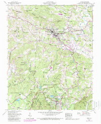
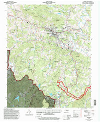
Historical Maps of Boone Through Time
9 maps found
Featured Locations
Source Details
SourceU.S. Geological Survey
CopyrightPublic Domain