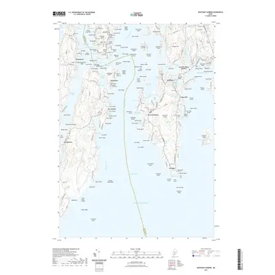
2021 Map of Boothbay Harbor
USGS Topo · Published 2021About this map
West Boothbay Harbor and the surrounding coastal islands define this intricate maritime landscape, where the jagged Maine shoreline is carved by the Sheepscot River and Sasanoa River. The settlement of Southport sits at a strategic crossing point, connected to the mainland by the Southport Bridge, while smaller villages like Five Islands and Robinhood dot the western reaches. Genealogists will find a dense concentration of family burial sites, including the Jewett Nelson Blake Moore Cem and the Cameron Family Cem, which reflect centuries of local residency on Westport Island and its neighbors.
Find a feature on this map
219 named features on this map. Tap any name to fly to it.
Don’t see what you’re looking for? This feature index may not catch every label — zoom into the map to look around manually.
Map Details
Editions of this 2021 Boothbay Harbor Map
This is the sole edition of this map. No revisions or reprints were ever made.
Other maps of this area

1893 · Small Point
USGS Topo · 1:62,500

1893 · Boothbay
USGS Topo · 1:62,500

1894 · Bath
USGS Topo · 1:62,500

1919 · Small Point
USGS Topo · 1:62,500

1920 · Bath
USGS Topo · 1:62,500

1941 · Boothbay
USGS Topo · 1:62,500

1943 · Boothbay
USGS Topo · 1:62,500

1944 · Boothbay
USGS Topo · 1:62,500

1944 · Small Point
USGS Topo · 1:62,500

1945 · Bath
USGS Topo · 1:62,500