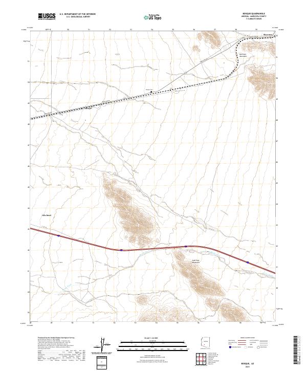
2021 Map of Bosque
USGS Topo · Published 2021About this map
The settlement of Bosque and its namesake Bosque Cem occupy a high desert landscape between two significant landforms in southern Arizona. To the northeast, the Maricopa Mountains rise above the plains, while the Sand Tank Mountains dominate the southern portion of the sheet. The region is defined by the ephemeral drainage of Bender Wash, which carries water through the arid terrain toward Gila Bend in the west.
Find a feature on this map
15 named features on this map. Tap any name to fly to it.
Don’t see what you’re looking for? This feature index may not catch every label — zoom into the map to look around manually.
Map Details
Editions of this 2021 Bosque Map
This is the sole edition of this map. No revisions or reprints were ever made.
Other maps of this area

1951 · Estrella
USGS Topo · 1:62,500

1951 · Gila Bend
USGS Topo · 1:62,500

1951 · Mobile
USGS Topo · 1:62,500

1951 · Cotton Center
USGS Topo · 1:62,500

1953 · Ajo
USGS Topo · 1:250,000

1954 · Phoenix
USGS Topo · 1:250,000

1957 · Ajo
USGS Topo · 1:250,000

1957 · Phoenix
USGS Topo · 1:250,000

1958 · Ajo
USGS Topo · 1:250,000

1958 · Phoenix
USGS Topo · 1:250,000