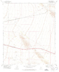
1973 Map of Bosque
USGS Topo · Published 1976About this map
The Southern Pacific railroad corridor serves as the primary artery through this desert landscape, connecting isolated stops like Shawmut and Bosque. This mid-1970s survey illustrates a region where water sources and livestock infrastructure dictate the pattern of human presence, evidenced by the numerous named wells and corrals such as LaPalma Corral and Mc Cray Well. The terrain is defined by the sharp elevations of the Maricopa Mountains to the north and the Sand Tank Mountains to the south, with the broad Bender Wash cutting through the lowlands.
Find a feature on this map
28 named features on this map. Tap any name to fly to it.
Don’t see what you’re looking for? This feature index may not catch every label — zoom into the map to look around manually.
Map Details
Editions of this 1973 Bosque Map
This is the sole edition of this map. No revisions or reprints were ever made.
Other maps of this area
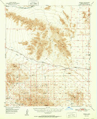
1951 · Estrella
USGS Topo · 1:62,500
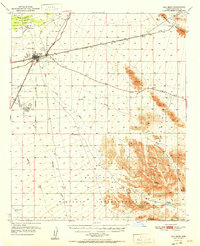
1951 · Gila Bend
USGS Topo · 1:62,500
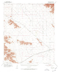
1951 · Mobile
USGS Topo · 1:62,500
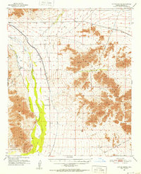
1951 · Cotton Center
USGS Topo · 1:62,500
1953 · Ajo
USGS Topo · 1:250,000
1954 · Phoenix
USGS Topo · 1:250,000
1957 · Ajo
USGS Topo · 1:250,000
1957 · Phoenix
USGS Topo · 1:250,000
1958 · Ajo
USGS Topo · 1:250,000
1958 · Phoenix
USGS Topo · 1:250,000