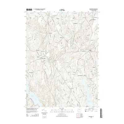
2015 Map of Botsford
USGS Topo · Published 2015About this map
Redding Ridge and Hattertown anchor a landscape defined by significant water storage and agricultural heritage in this modern Fairfield County survey. The area is dominated by large hydrological features including the Saugatuck Reservoir to the west and Easton Reservoir in the southeast, which supply the region's population centers. The settlement pattern remains largely residential and rural, with small communities like Stepney and Huntingtown connected by a dense network of country roads such as Poverty Hollow Rd and Black Rock Tpke. For those researching local lineages, the map identifies several distinct burial sites, from the Tashua Burial Ground to the Union Cem. Geographic elevations like Sunset Hill and Eden Hill rise between the valleys of the Aspetuck River and the Pootatuck River, illustrating the dissected upland topography of southwestern Connecticut.
Find a feature on this map
223 named features on this map. Tap any name to fly to it.
Don’t see what you’re looking for? This feature index may not catch every label — zoom into the map to look around manually.
Map Details
Editions of this 2015 Botsford Map
This is the sole edition of this map. No revisions or reprints were ever made.
Other maps of this area

1889 · Derby
USGS Topo · 1:62,500

1891 · Bridgeport
USGS Topo · 1:62,500

1891 · Derby
USGS Topo · 1:62,500

1892 · Danbury
USGS Topo · 1:62,500

1892 · Norwalk
USGS Topo · 1:62,500

1893 · Bridgeport
USGS Topo · 1:62,500

1893 · Norwalk
USGS Topo · 1:62,500

1893 · Derby
USGS Topo · 1:62,500

1915 · Danbury
USGS Topo · 1:62,500

1920 · Bridgeport
USGS Topo · 1:62,500