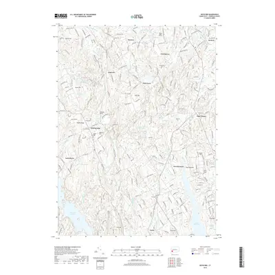
2018 Map of Botsford
USGS Topo · Published 2018About this map
Redding Ridge and its associated historic burial grounds anchor the western portion of this Fairfield County landscape. The area is defined by a series of distinct upland settlements including Palestine, Hattertown, and Huntingtown, which are separated by an intricate network of waterways and reservoirs. Significant water bodies such as the Saugatuck Reservoir and Easton Reservoir illustrate the mid-20th-century transformation of the local geography to support regional infrastructure. To the north, the Flying Ridge Airstrip sits near the Pootatuck River, while the southern reaches transition into the township of Easton. Genealogists will find a high density of documented family burial sites, from the Morgan Cem to the Tashua Burial Ground, reflecting generations of settlement along ridges like Meekers Hill and Sunset Hill. This topographic record provides a clear view of the winding road network, including the old Poor House Rd, that links these historic Connecticut hamlets.
Find a feature on this map
115 named features on this map. Tap any name to fly to it.
Don’t see what you’re looking for? This feature index may not catch every label — zoom into the map to look around manually.
Map Details
Editions of this 2018 Botsford Map
This is the sole edition of this map. No revisions or reprints were ever made.
Other maps of this area

1889 · Derby
USGS Topo · 1:62,500

1891 · Bridgeport
USGS Topo · 1:62,500

1891 · Derby
USGS Topo · 1:62,500

1892 · Danbury
USGS Topo · 1:62,500

1892 · Norwalk
USGS Topo · 1:62,500

1893 · Bridgeport
USGS Topo · 1:62,500

1893 · Norwalk
USGS Topo · 1:62,500

1893 · Derby
USGS Topo · 1:62,500

1915 · Danbury
USGS Topo · 1:62,500

1920 · Bridgeport
USGS Topo · 1:62,500