Loading...
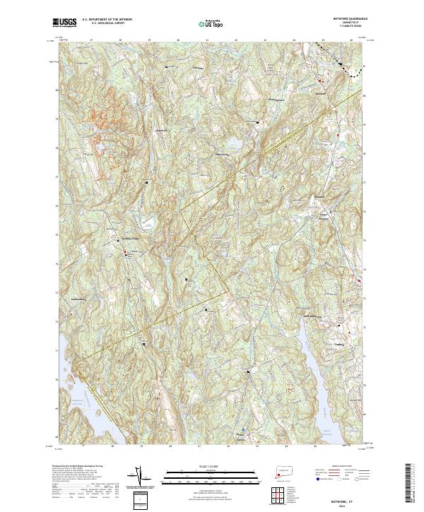
Loading map...2024 Map of Botsford
USGS Topo · Published 2024About this map
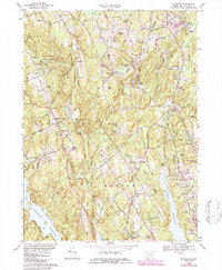
Redding Ridge and the village of Botsford anchor a landscape defined by the transition between the rolling uplands of Fairfield County and the carefully managed water systems of the early twenty-first century. The presence of both the Saugatuck Reservoir and Easton Reservoir illustrates the region's importance as a watershed, while the Housatonic Railroad corridor continues to mark the historic transport routes through Stepney and Upper Stepney.
Find a feature on this map
164 named features on this map. Tap any name to fly to it.
Don’t see what you’re looking for? This feature index may not catch every label — zoom into the map to look around manually.
Map Details
Date Portrayed2024
Date Published2024
PublisherU.S. Geological Survey
Map TypeTopographic
Scale1:24000
Physical Dimensions24 x 29 inches
Editions of this 2024 Botsford Map
This is the sole edition of this map. No revisions or reprints were ever made.
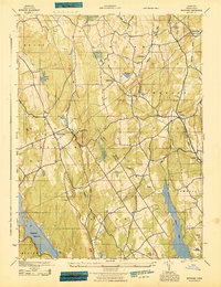
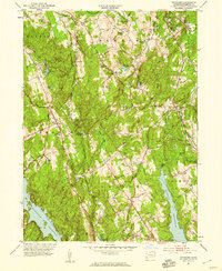
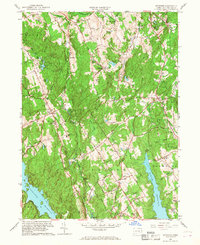
Historical Maps of Upper Stepney Through Time
5 maps found
Featured Locations
Source Details
SourceU.S. Geological Survey
CopyrightPublic Domain