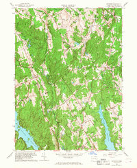
1959 Map of Botsford
USGS Topo · Published 1968About this map
Redding Ridge and the surrounding Fairfield County uplands are documented here just as suburban growth began to reach into the rural interior of southwest Connecticut. The landscape is defined by its deep reservoirs, including the Saugatuck Reservoir and Easton Reservoir, which transformed the local drainage patterns of the Aspetuck River and its tributaries. Local history is anchored by early settlement nodes like Hattertown, where the Hattertown Cem remains, and Stepney along the eastern edge. The corridor of the Housatonic RR passes through the northeast, serving industrial sites like the Gravel Pits near Botsford. This survey reveals a transition from an agrarian past—evidenced by numerous small family-named peaks like Meekers Hill and Hirams Hill—to a landscape increasingly managed for regional water needs and residential expansion.
Find a feature on this map
76 named features on this map. Tap any name to fly to it.
Don’t see what you’re looking for? This feature index may not catch every label — zoom into the map to look around manually.
Map Details
Editions of this 1959 Botsford Map
2 editions found
Other maps of this area

1889 · Derby
USGS Topo · 1:62,500

1891 · Bridgeport
USGS Topo · 1:62,500

1891 · Derby
USGS Topo · 1:62,500

1892 · Danbury
USGS Topo · 1:62,500

1892 · Norwalk
USGS Topo · 1:62,500

1893 · Bridgeport
USGS Topo · 1:62,500

1893 · Norwalk
USGS Topo · 1:62,500

1893 · Derby
USGS Topo · 1:62,500

1915 · Danbury
USGS Topo · 1:62,500

1920 · Bridgeport
USGS Topo · 1:62,500