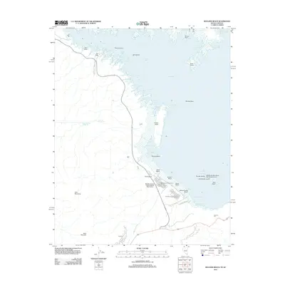
2012 Map of Boulder Beach
USGS Topo · Published 2012About this map
Boulder Basin and the southern reaches of Lake Mead define this 2012 survey, illustrating the recreational and infrastructure landscape near Boulder City. The map documents the extensive shoreline of the Boulder Canyon Project Federal Reservation, featuring established public access points such as Boulder Beach, North Beach, and South Beach. This era shows a complex network of aquatic geography, from the deep waters of the basin to the intricate inlets of Pumphouse Cove, Hatchery Cove, and Horsepower Cove.
Find a feature on this map
48 named features on this map. Tap any name to fly to it.
Don’t see what you’re looking for? This feature index may not catch every label — zoom into the map to look around manually.
Map Details
Editions of this 2012 Boulder Beach Map
This is the sole edition of this map. No revisions or reprints were ever made.
Other maps of this area

1886 · Camp Mohave
USGS Topo · 1:250,000

1886 · Saint Thomas
USGS Topo · 1:250,000

1892 · Camp Mohave
USGS Topo · 1:250,000

1893 · Saint Thomas
USGS Topo · 1:250,000

1926 · Nelson
USGS Topo · 1:96,000

1926 · Boulder Canyon
USGS Topo · 1:96,000

1942 · Camp Mohave
USGS Topo · 1:250,000

1947 · Kingman
USGS Topo · 1:250,000

1948 · Kingman
USGS Topo · 1:250,000

1952 · Henderson
USGS Topo · 1:62,500