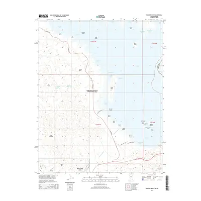
2015 Map of Boulder Beach
USGS Topo · Published 2015About this map
Lake Mead dominates the landscape of this Nevada-Arizona border region, where the intricate shoreline of the Lake Mead National Recreation Area creates a complex network of coves and islands. On the western shore, the outskirts of Boulder City transition into the arid peaks of the River Mountains and Black Mtn, providing a stark geological contrast to the massive water reservoir. Significant engineering works are visible near the coast, including the River Mountains Tunnel and water regulation infrastructure like Regulating Tank Number Two. The map details popular recreational points along the southwestern shore, from North Beach and Swim Beach down to Special Events Beach and the protected waters of Boulder Harbor. Farther out in the lake, geological features like Saddle Island and the Boulder Islands chain mark the submerged topography of the basin.
Find a feature on this map
59 named features on this map. Tap any name to fly to it.
Don’t see what you’re looking for? This feature index may not catch every label — zoom into the map to look around manually.
Map Details
Editions of this 2015 Boulder Beach Map
This is the sole edition of this map. No revisions or reprints were ever made.
Other maps of this area

1886 · Camp Mohave
USGS Topo · 1:250,000

1886 · Saint Thomas
USGS Topo · 1:250,000

1892 · Camp Mohave
USGS Topo · 1:250,000

1893 · Saint Thomas
USGS Topo · 1:250,000

1926 · Nelson
USGS Topo · 1:96,000

1926 · Boulder Canyon
USGS Topo · 1:96,000

1942 · Camp Mohave
USGS Topo · 1:250,000

1947 · Kingman
USGS Topo · 1:250,000

1948 · Kingman
USGS Topo · 1:250,000

1952 · Henderson
USGS Topo · 1:62,500