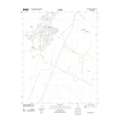
2012 Map of Boulder City
USGS Topo · Published 2012About this map
Boulder City serves as the focal point of this Nevada survey, appearing as a hub of residential street networks and civic infrastructure in the early 21st century. The map illustrates the town's expansion toward the desert fringes, with the Boulder City Municipal Airport and Boulder City Post Office marking the community's established core. Beyond the town limits, the landscape is defined by the sharp transition into the Lake Mead National Rec Area, where the terrain rises toward rugged landmarks such as Bootleg Canyon and Hemenway Pass.
Find a feature on this map
36 named features on this map. Tap any name to fly to it.
Don’t see what you’re looking for? This feature index may not catch every label — zoom into the map to look around manually.
Map Details
Editions of this 2012 Boulder City Map
This is the sole edition of this map. No revisions or reprints were ever made.
Other maps of this area

1886 · Camp Mohave
USGS Topo · 1:250,000

1886 · Saint Thomas
USGS Topo · 1:250,000

1892 · Camp Mohave
USGS Topo · 1:250,000

1893 · Saint Thomas
USGS Topo · 1:250,000

1926 · Nelson
USGS Topo · 1:96,000

1926 · Boulder Canyon
USGS Topo · 1:96,000

1942 · Camp Mohave
USGS Topo · 1:250,000

1947 · Kingman
USGS Topo · 1:250,000

1948 · Kingman
USGS Topo · 1:250,000

1952 · Henderson
USGS Topo · 1:62,500