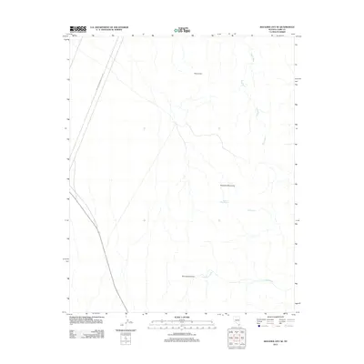
2012 Map of Boulder City SE
USGS Topo · Published 2012About this map
The Eldorado Mountains dominate the landscape southeast of Boulder City in this 2012 survey, defining a terrain of steep elevation and intricate drainage patterns. In this arid reach of Clark County, water sources are rare and vital landmarks, evidenced by the presence of Forlorn Hope Spring and Davis Spring. These water features, alongside the prominent Pilot Cone, have historically served as essential waypoints for those navigating the eastern Mojave. The map also delineates the western boundary of the Lake Mead National Rec Area, where the high desert transitions toward the Colorado River basin. Desert hydrology is clearly traced through the winding paths of Quail Wash and Lonesome Wash, which converge near Oak Creek Canyon, illustrating how seasonal runoff continues to shape this protected landscape.
Find a feature on this map
8 named features on this map. Tap any name to fly to it.
Don’t see what you’re looking for? This feature index may not catch every label — zoom into the map to look around manually.
Map Details
Editions of this 2012 Boulder City SE Map
This is the sole edition of this map. No revisions or reprints were ever made.
Other maps of this area

1886 · Camp Mohave
USGS Topo · 1:250,000

1892 · Camp Mohave
USGS Topo · 1:250,000

1926 · Nelson
USGS Topo · 1:96,000

1942 · Camp Mohave
USGS Topo · 1:250,000

1947 · Kingman
USGS Topo · 1:250,000

1948 · Kingman
USGS Topo · 1:250,000

1954 · Kingman
USGS Topo · 1:250,000

1955 · Kingman
USGS Topo · 1:250,000

1958 · Kingman
USGS Topo · 1:250,000
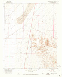
1958 · Boulder City SW
USGS Topo · 1:24,000