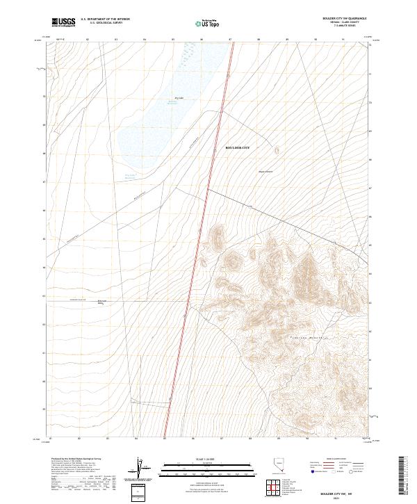
2021 Map of Boulder City SW
USGS Topo · Published 2021About this map
Boulder City serves as the gateway to this arid landscape where the eastern edges of the Mojave Desert meet the rising elevations of the Eldorado Mountains. The map reveals a complex network of desert hydrology, characterized by significant ephemeral features such as Dry Lake, Mursha Reservoir, and Dry Lake Reservoir. These water-catchment sites are situated within the broader expanse of the Eldorado Valley, highlighting the critical role of water management in this high-desert environment.
Find a feature on this map
15 named features on this map. Tap any name to fly to it.
Don’t see what you’re looking for? This feature index may not catch every label — zoom into the map to look around manually.
Map Details
Editions of this 2021 Boulder City SW Map
This is the sole edition of this map. No revisions or reprints were ever made.
Other maps of this area

1886 · Camp Mohave
USGS Topo · 1:250,000

1892 · Camp Mohave
USGS Topo · 1:250,000

1910 · Ivanpah
USGS Topo · 1:250,000

1912 · Ivanpah
USGS Topo · 1:250,000

1926 · Nelson
USGS Topo · 1:96,000

1942 · Camp Mohave
USGS Topo · 1:250,000

1942 · Ivanpah
USGS Topo · 1:250,000

1947 · Kingman
USGS Topo · 1:250,000

1948 · Kingman
USGS Topo · 1:250,000

1954 · Kingman
USGS Topo · 1:250,000