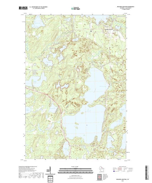
2022 Map of Boulder Junction
USGS Topo · Published 2022About this map
Boulder Junction serves as the focal point of this northern Wisconsin landscape, situated within a complex network of glacial lakes and waterways in Vilas County. The town is flanked by Little Rice Lake to the east and the winding course of the Manitowish River to the west. This 2022 survey details a terrain defined by its hydrography, from the expansive reaches of Trout Lake and Allequash Lake to smaller, isolated bodies like Diamond Lake and Sparkling Lake.
Find a feature on this map
73 named features on this map. Tap any name to fly to it.
Don’t see what you’re looking for? This feature index may not catch every label — zoom into the map to look around manually.
Map Details
Editions of this 2022 Boulder Junction Map
This is the sole edition of this map. No revisions or reprints were ever made.
Other maps of this area
1938 · Minocqua
USGS Topo · 1:48,000
1938 · Lac Du Flambeau
USGS Topo · 1:48,000
1939 · Trout Lake
USGS Topo · 1:48,000
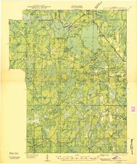
1939 · Lac Du Flambeau
USGS Topo · 1:48,000
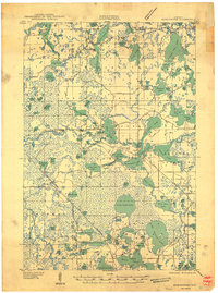
1939 · Winchester
USGS Topo · 1:48,000
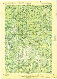
1946 · Winchester
USGS Topo · 1:48,000
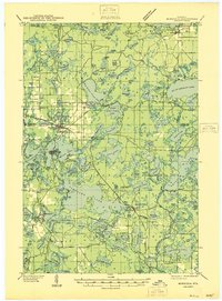
1946 · Minocqua
USGS Topo · 1:48,000
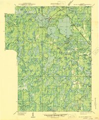
1946 · Lac Du Flambeau
USGS Topo · 1:48,000
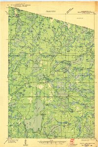
1946 · Trout Lake
USGS Topo · 1:48,000
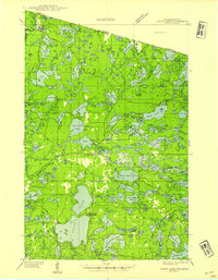
1949 · Trout Lake
USGS Topo · 1:48,000