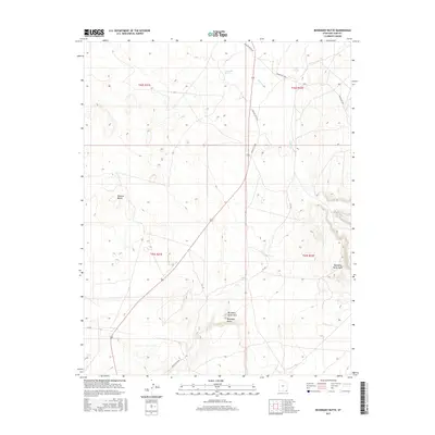
2017 Map of Boundary Butte
USGS Topo · Published 2017About this map
Boundary Butte and its namesake arch anchor the landscape of this southern San Juan County region near the Utah-Arizona border. The terrain is defined by dramatic elevations such as Boundary Butte Mesa and the broad Nokaito Bench, where the desert surface is etched by ephemeral drainages like Gothic Cr. Water sources, though sparse, are carefully documented at Tohanadli Spring and Salt Spring, indicating their importance for range management and travel in this arid environment. The road network reflects the modern connectivity of the Shiprock Agency, with Mexican Water Rd and various Bureau of Indian Affairs routes like Indian Rte 5060 providing access through the township and range divisions. The mapping of these remote springs and named geological formations provides a look at the enduring landmarks of the Four Corners area.
Find a feature on this map
19 named features on this map. Tap any name to fly to it.
Don’t see what you’re looking for? This feature index may not catch every label — zoom into the map to look around manually.
Map Details
Editions of this 2017 Boundary Butte Map
This is the sole edition of this map. No revisions or reprints were ever made.
Other maps of this area

1886 · Abajo
USGS Topo · 1:250,000

1892 · Abajo
USGS Topo · 1:250,000

1892 · Canyon De Chelly
USGS Topo · 1:250,000

1893 · Abajo
USGS Topo · 1:250,000

1953 · Dinne Mesa NW
USGS Topo · 1:24,000

1953 · Toh-Atin Mesa
USGS Topo · 1:62,500

1954 · Shiprock
USGS Topo · 1:250,000

1956 · Cortez
USGS Topo · 1:250,000

1958 · Cortez
USGS Topo · 1:250,000

1958 · Shiprock
USGS Topo · 1:250,000